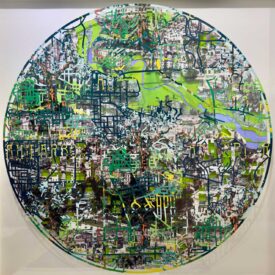
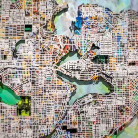
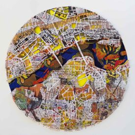
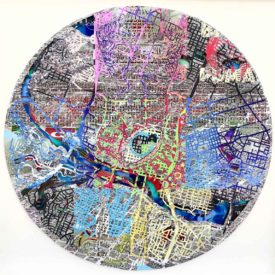
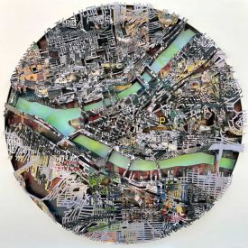
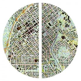
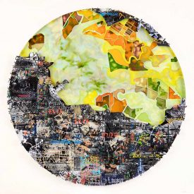
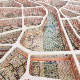
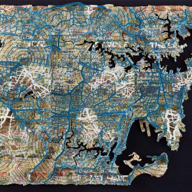
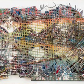
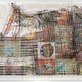
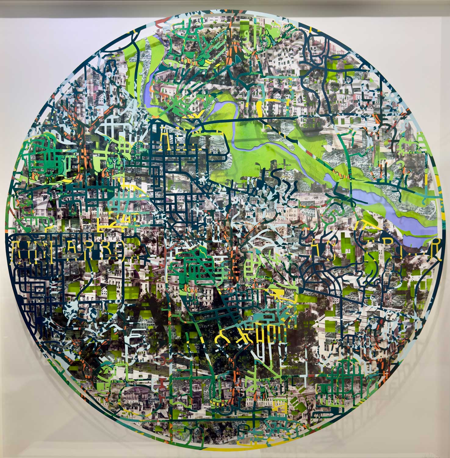
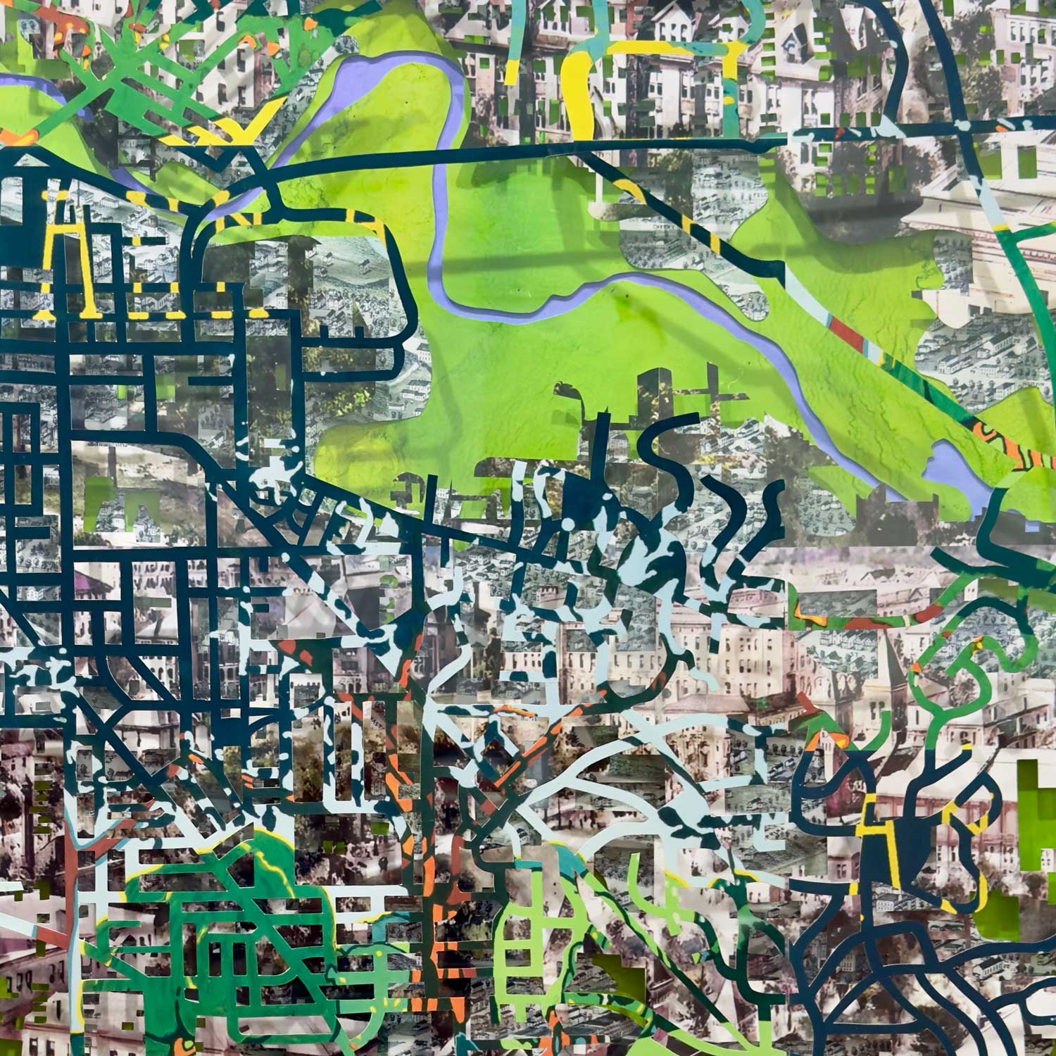
The surface layer of the sculpture comprises of the entire street network of Ann Arbor that is enclosed within the boundaries of I 94 hwy 14 and Hwy 23. A poster advertising the Ann Arbor Arboretum has been used for this purpose.
The intermediate layer is comprised of an illustrated map from 1868 of the buildings of the University of Michigan, A map of every building in the central area of Ann Arbor was used to cut though creating a template of the footprint of the city. The rear layer is taken from another illustrated birds eye view map of Ann Arbor from 1880. This layer has been cut though to reveal the green spaces that are so abundant throughout the city. The Green areas are created from poured inks over Yupo paper and there is a reveal to show the path of the Huron river in a pale violet, also created from poured inks on Yupo.